Become a Waste Watcher!

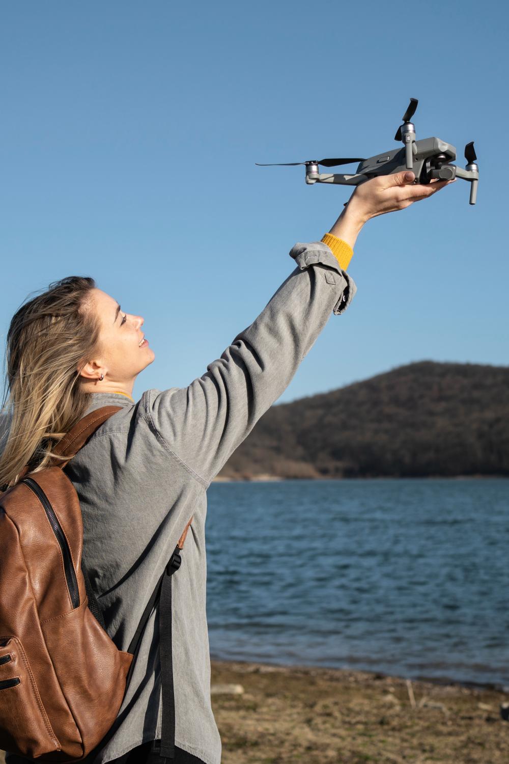
At Waste Watchers, we deploy drones and artificial intelligence to find out where the litter gathers along the Scheldt River. Drones fly along the river banks and their images are analyzed by artificial intelligence that recognizes the litter. That information is then converted into a handy map. 


I don't have a drone                     I have a drone

What's a fly day?

At the fly days, we explain the project and the technology so you can make your own images of the banks of the Scheldt. A fun activity for everyone!

There are no more fly days planned at the moment. 

Getting started with your own drone

Independent drone flights are very important to our research. Great that you want to participate!

To ensure everything goes smoothly and correctly, please follow these steps:

  1. Choose a location: To help with this, we have already chosen 50 (sub)municipalities along the Scheldt where you can conduct a flight. Take a look at the map above or the list below and register for the location where you will fly. 
  2. Read the explanation below: To get the best possible results, we made guidelines explaining how best to proceed. You can read them below.
  3. Perform the flight: Good luck! Don't forget to enjoy your contribution to citizen science.
  4. Send us your photos: You can provide us with the photos of your flight by emailing them via WeTransfer or a similar medium to action@river-cleanup.org.

Legally compliant

  • If you purchase a drone with a camera, you must register with the FPS Mobility as an operator, even as a hobbyist. This can be done for free on the online Drone Portal. You will then receive an operator number that you must visibly affix to your drone(s).

  • When you register, you provide a policy number that covers civil liability for your drone activities. If it is just for your hobby, then usually your family policy will suffice.

  • To fly a drone weighing less than 250 g, it is basically enough to read the manual. Training is not mandatory, but getting the theoretical Open A1 certificate is easy, free and online. We highly recommend this.

Which drone?

  • For Waste Watchers, you can use a DJI Mavic Mini, Mini 2, Mini 2 SE, Mini 3 and Mini 3 Pro. If you have a Parrot ANAFI, DJI Mavic Air (not the Air 2 or Air 2S), DJI Mavic 3 Classic, Mavic 3 or Mavic 3 Cine (if you've applied for a C1 label for both of the latter types) you can also get started, but don't fly right over the towpaths. These drones are not allowed to fly over passersby.
  • In short, it is important that you can work in the Open A1 category and that your drone is equipped with GPS and a camera that can be pointed straight down.

Where to fly

  • Choose a location at the bottom of river-cleanup.org/en/waste-watchers.
  • Before the flight, check map.droneguide.be for any (temporary) restrictions.
  • Once on site: choose a location where you can safely take off and land, and where you have a good view of the surroundings. 

How to fly

  • All your aerial photos where litter is recognizable are welcome, but to get the best results, we have some tips for you.
  • Set up somewhere central and check your surroundings for obstacles such as tall trees or lampposts.
  • Always leave with a full battery.
  • Steer your drone in parallel flight lines along the towpath and bank.
  • Maintain a constant altitude of 15 m above the ground.
  • Fly at as constant a speed as possible of no more than 3 m/s. To limit speed, it may help to switch your remote control to C (Cine) or T (Tripod) mode, and/or change the maximum speed in the settings (depending on the type of drone). Of course, it's not bad if you deviate from this occasionally.
  • Before you take off, don't forget to check your drone's safety settings. Set the maximum flight distance at 300 meters, the maximum flight altitude at 120 meters and the return-to-home altitude above obstacles. That way, you will always fly within the legal limits.

The flight path

  • How far you fly the drone depends on how far you can still keep the drone in sight and how comfortable you feel. We recommend flying no further than 250 m from you. Do you prefer to keep the drone closer? That's totally fine! You can keep moving a little further away to map longer strips in several short flights.
  • So first let your drone fly a certain distance to the left, move up a bit and let the drone return. Then you can continue flying the same distance to the right, eventually returning to the original flight line. (Figure 1)
  • Aim your drone so that the front of the drone (the side where the camera hangs) points in the direction of flight. When you have the drone move up, make sure that you still recognize in the edge of the image the landscape elements that you were also just in view on the previous flight line. That way, you can keep the flight lines tight, and a little overlap ensures that you don't skip spots.

How to take pictures

  • Waste Watchers requires the camera to take photos, not video.
  • Set the camera to "timelapse" at 5 second intervals. 
  • Leave the file format set to JPEG at maximum resolution, the exposure setting and focus to AUTO, but set the exposure compensation (EV) to -1.
  • Before you start, of course, check that you have enough space left on the SD card: with 500 photos left on the counter, you are definitely safe.
  • Once the camera is set, ascend to 15 meters, turn the camera down and press the photo button to start the photo series. (Image 2)
  • When you get back to the takeoff site at the end of the flight, press the photo button again to stop the sequence, and set up for landing. It is a good idea to point your camera back forward just before landing to avoid damage to the lens from any stones or windblown dust.


Загрузки